 |
| Iya Valley |
 |
| Mt. Tsurugi (剣山) Map |
 |
| Mt. Tsurugi (剣山) Map |
 |
| Mt. Tsurugi (剣山) |
 |
| Mt. Tsurugi (剣山) |
 |
| Mt. Tsurugi (剣山) |
 |
| Mt. Tsurugi (剣山) |
 |
| Mt. Tsurugi (剣山) |
 |
| Mt. Tsurugi (剣山) |
 |
| Mt. Tsurugi (剣山) |
 |
| Mt. Tsurugi (剣山) |
 |
| View from Mt. Tsurugi (剣山) |
 |
| Mt. Tsurugi (剣山) |
 |
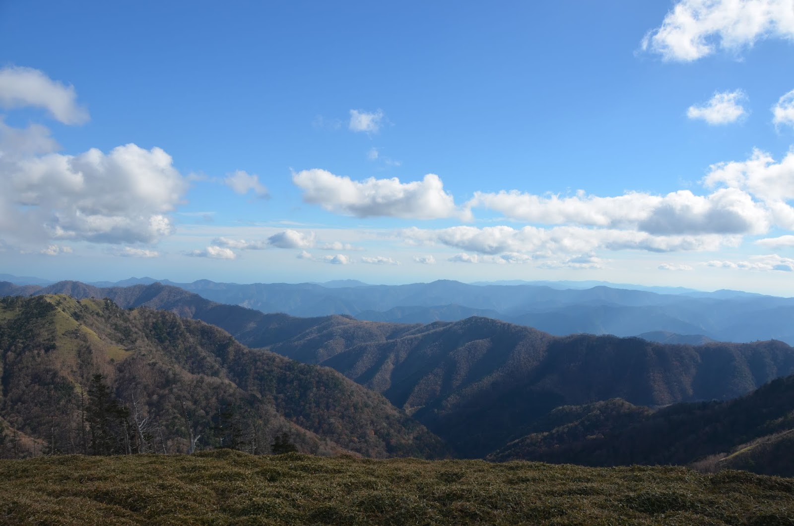
| View from Mt. Tsurugi (剣山) |
 |
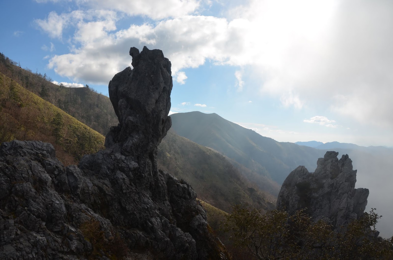
| View from Mt. Tsurugi (剣山) |
 |
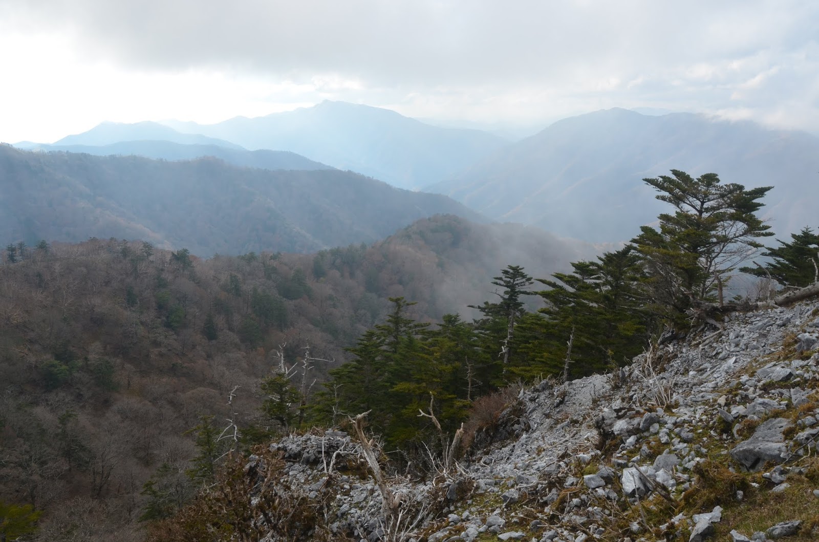
| View from Mt. Tsurugi (剣山) |
 |
| Mt. Tsurugi (剣山) |
 |
| View from Mt. Tsurugi (剣山) |
 |
| View from Mt. Tsurugi (剣山) |
 |
| Mt. Tsurugi (剣山) |
 |
| Mt. Tsurugi (剣山) |
 |
| Mt. Tsurugi (剣山) |
 |
| Mt. Tsurugi (剣山) |
 |
| Mt. Tsurugi (剣山) |
 |
| Mt. Tsurugi (剣山) |
 |
| Mt. Tsurugi (剣山) |
 |
| Mt. Tsurugi (剣山) |
 |
| Mt. Tsurugi (剣山) |
 |
| Mt. Tsurugi (剣山) |
 |
| Mt. Tsurugi (剣山) |
 |
| Mt. Tsurugi (剣山) |
 |
| Mt. Tsurugi (剣山) |
 |
| Mt. Tsurugi (剣山) |
 |
| Mt. Tsurugi (剣山) |
 |
| Mt. Tsurugi (剣山) |
 |
| Mt. Tsurugi (剣山) |
 |
| Mt. Tsurugi (剣山) |
 |
| Mt. Tsurugi (剣山) |
 |
| Mt. Tsurugi (剣山) |
 |
| Mt. Tsurugi (剣山) |
 |
| Mt. Tsurugi (剣山) |
 |
| Mt. Tsurugi (剣山) |
 |
| Mt. Tsurugi (剣山) |
 |
| Mt. Tsurugi (剣山) |
| ||

No comments:
Post a Comment