Showing posts with label Hiking. Show all posts

Friday, 9 November 2018

Hiking Old Logging Roads in Tosayamada

Tosayamada doesn't have too much to offer in terms of maintained hiking trails but there are a few places where you can go for a walk in the woods. One of the most common 'trail' types for this is abandoned logging roads.

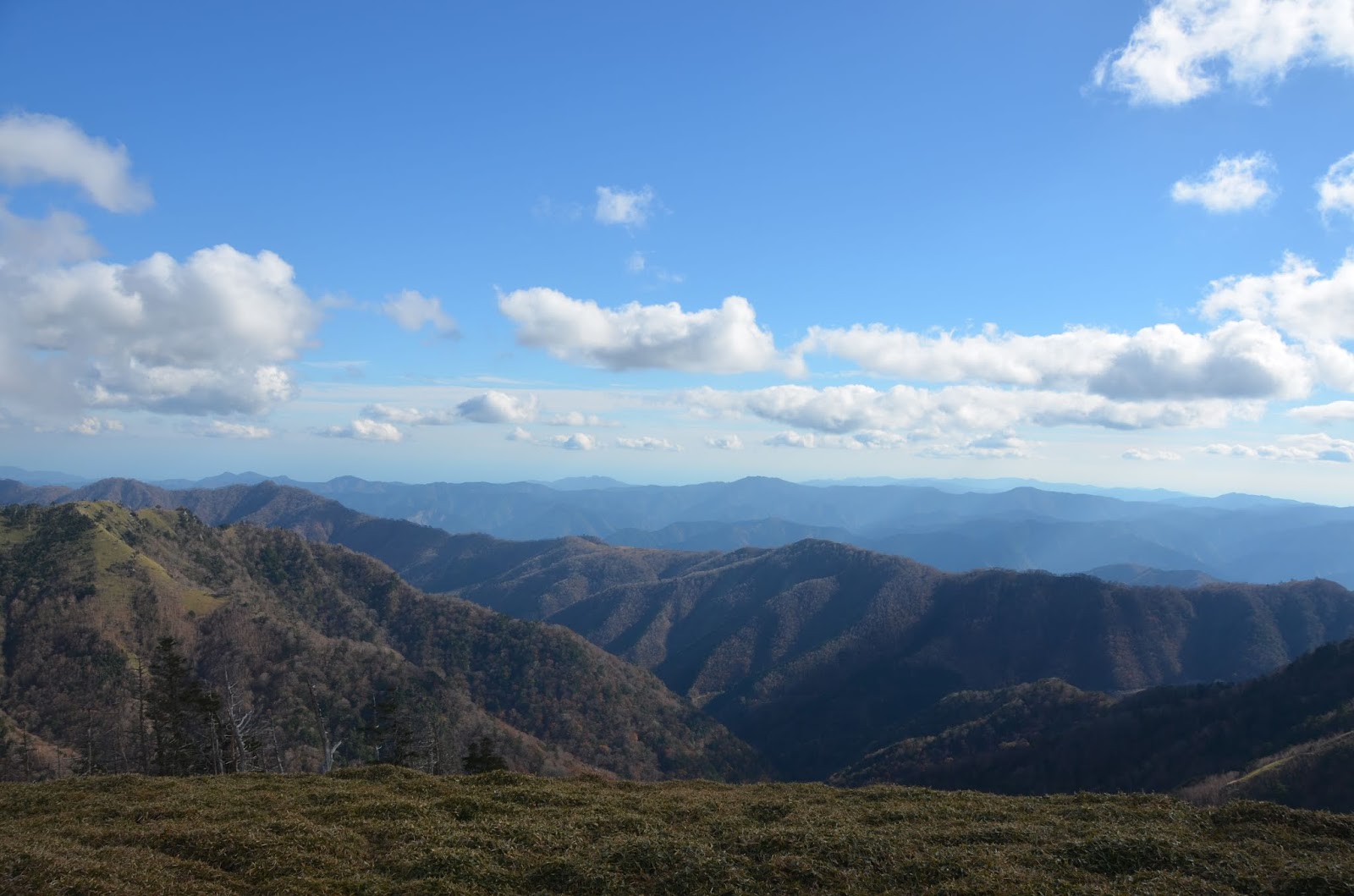
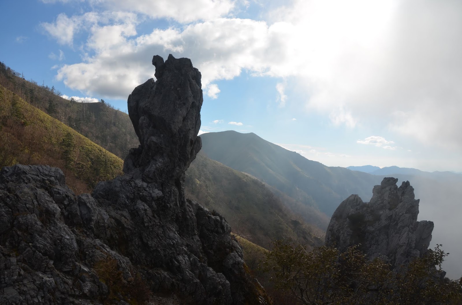
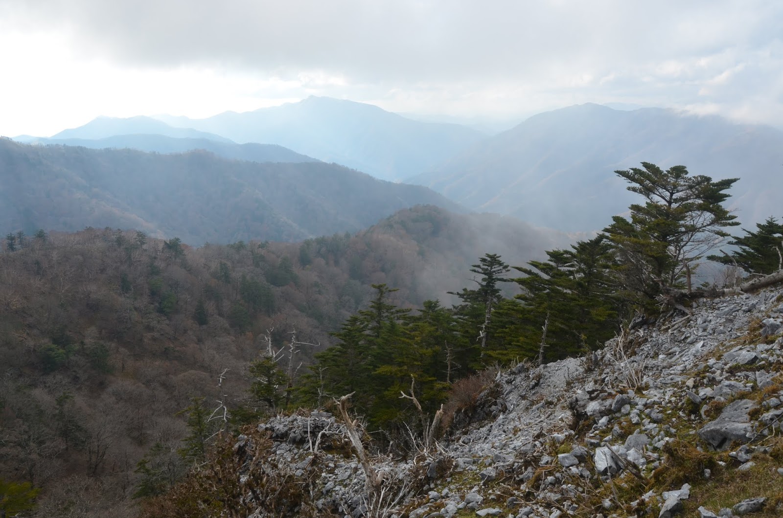
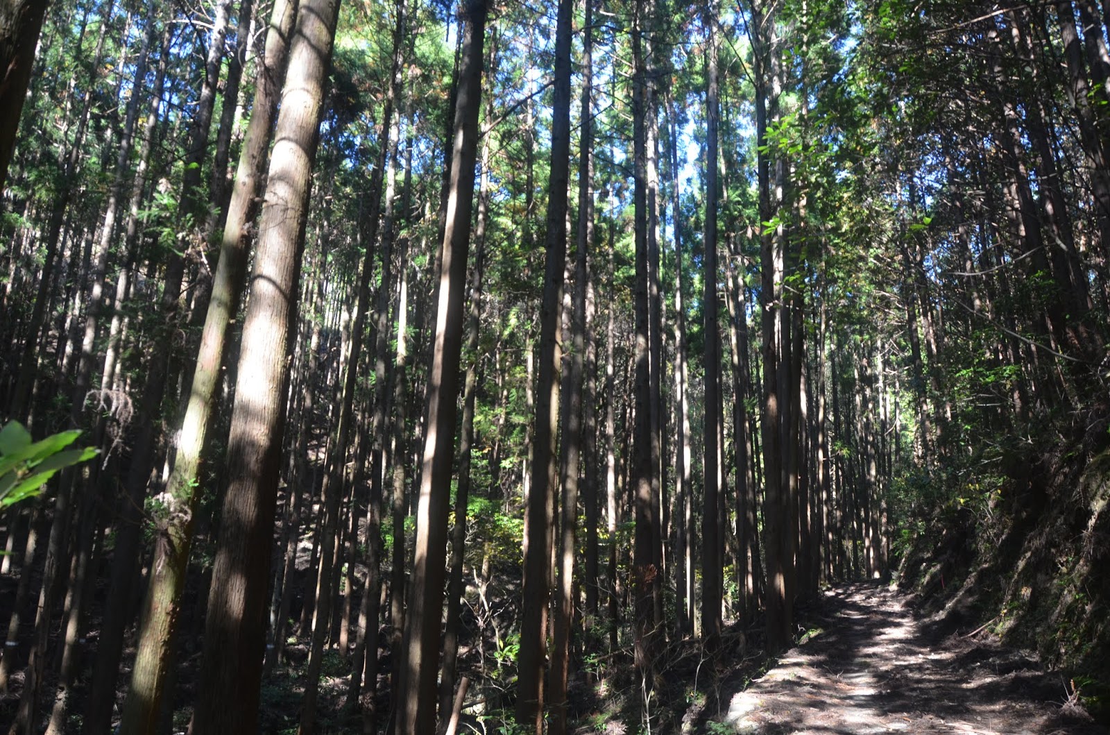
Although the roads are overgrown to varying degrees and could be challenging for a car they could in some places be alright for a bike and definitely great for a walk and sometimes you stumble upon interesting things like old shrines that may or may not still be used by a few locals.
 The birding along the lowland areas is loud with Brown-eared Bulbuls, Oriental Turtledoves, Japanese White-eye, Pale Thrush, Oriental Greenfinch, Japanese Wagtail and Eurasian Tree Sparrows.
 Higher in the woodlands there are Japanese Woodpeckers, Japanese Pygmy Woodpeckers, Japanese Tits, Green Pigeons, Meadow Bunting, Black-eared Kites and still many of the noisy Brown-eared Bulbuls.

On one of the trails I encountered an area of landslide where it had cleared a nice view for me to see the valley below. Most of the time all you can see is the surrounding forest and towering trees above you.
Despite only being at 311m elevation the topography of the valley below is at around 100m and still makes for a picturesque view.


Snakes are pretty common in the evenings as it cools down and most likely in the mornings as the sun warms spots along the old pavement. The most common ones are ratsnakes and keelbacks.
Tiger Keelback - yamakagashi (Rhabdophis tigrinus)
 One of the prettiest is the Tiger Keelback with yellow and red colouring on its sides. These little guys are as fast and wiry as gartersnakes back home but have a neurotoxic venom.  They primarily eat frogs and are abundant n rice fields and lowland forest areas along rivers.
Tiger Keelback - yamakagashi (Rhabdophis tigrinus)

Tiger Keelback - yamakagashi (Rhabdophis tigrinus)
Despite the cold weather I was lucky enough to find a migrating (I assume heading for its wintering grounds) Japanese Fire Belly Newt.
Japanese Fire Belly Newt (Cynops pyrrhogaster)
Trying to navigate logging roads that don't appear on maps can be a bit challenging and sometimes you walk them and arrive at a complete dead end or have to bushwalk to get through to another section of road that doesn't actually link up with pavement or gravel. I try to use a combination of maps.ma and google earth to find these places to hike but it still can end up in a bit of a failure.

Saturday, 3 November 2018

Mt. Tsurugi (剣山)

Mt. Tsurugi (剣山) is a 1955m high peak in Tokushima Japan on the eastern end of Iya Valley. The valley area is famous for it's stunning clear blue rivers and beautiful fall colours. We went a bit later in the season  so the fall colours were almost finished in the valley and higher on the mountains where the wind was stronger the leaves had been blown off and there was very little colour.
Iya Valley
The remote valley area is littered with Japanese Maple that cover the mountains with red and orange. Other than a few small areas of little villages and a few power dams there is not much in Iya Valley making it incredibly scenic.  Some areas have been logged in the valley and patches of planted monocultre can be seen on a few of the mountains. This practice of planting is not used anymore and in some areas they are cutting some of the trees in patches to restore the natural diverse forest.
Mt. Tsurugi (剣山) Map
It is the second highest mountain on Shikoku Island and an important area of worship is the small shrine on the top called ‘Tsurugi Jinja’. Despite the name 'sword mountain' it is actually not a very challenging climb and you can catch a chairlift part way up. If you don't take the chairlift then it is about a 1 hour hike to the top of the chair lift and another hour to the peak from there.

Mt. Tsurugi (剣山)
The hike starts at Enpukuji Temple and Tsurugi Shrine and goes up through lovely mixedwood forest that has some huge old trees. The ground cover is mostly a grass that I think is the genus Sasa, which is very common on all mountains in Japan.
Mt. Tsurugi (剣山)
The trail is mostly dirt path at this point and is not a very strenuous hike up to the upper chairlift station. There isn't much view through the forest along the path and possibly even less in the summer with the leaves on the trees.
Mt. Tsurugi (剣山)
Birds were very active despite the chilly weather and I was able to see many woodpeckers and tits along the trail.
Mt. Tsurugi (剣山)
Mt. Tsurugi (剣山)
Mt. Tsurugi (剣山)
Mt. Tsurugi (剣山)
Mt. Tsurugi (剣山)
View from Mt. Tsurugi (剣山)
Mt. Tsurugi (剣山)
The view from Nishikima Starion (top chairlift) is quite spectacular in itself and you can see a lot with about a 180 degree view.
View from Mt. Tsurugi (剣山)
You can camp out near Nishikima Starion (top chairlift) and there are sections cleared away with fire pits. I am so envious of the people that were camping for the night and even though the night temperatures are already getting quite chilly, I would have loved to stay in the small sheltered area here for the chance to hike up in the early morning to see the sunset and rise over the mountains. Without camping equipment in Japan I sadly missed out on this bucket list item for Japan.
Mt. Tsurugi (剣山)
View from Mt. Tsurugi (剣山)
 From Nishikima Starion (top chairlift) the trail gets a bit harder to climb but there are multiple routes to choose from. We took the shortest and most direct up called the Ridge Trail Course. The rocky stairs climb up quite steeply but with much less tree cover there are lovely views while you climb. The sparse trees here are still mixed but mostly conifers. The under story is thick with Sasa.
Mt. Tsurugi (剣山)
Mt. Tsurugi (剣山)
Mt. Tsurugi (剣山)
Mt. Tsurugi (剣山)
Mt. Tsurugi (剣山)
At the top of the mountain there is a small shrine, weather station, mountain huts you can stay in for the night and walkways that take you to different sections of the peak. The trails here link up to other trails across that spread across the mountain range.
Mt. Tsurugi (剣山)
Mt. Tsurugi (剣山)
The views are a fantastic panoramic of the mountains below. The peak doesn't sit much higher than the surrounding mountains but you can still see really far away on a clear day. We arrived at the top for lunch and just in time before clouds swept over the mountain from the west.
Mt. Tsurugi (剣山)
 Watching the clouds roll over the peak was quite serene. The clashing winds made the clouds rise into a straight wall at the peak and then the base of this thick white washed wall seeped slowly over the top at the.
Mt. Tsurugi (剣山)
Mt. Tsurugi (剣山)
Mt. Tsurugi (剣山)
Mt. Tsurugi (剣山)
Mt. Tsurugi (剣山)
I would have loved the chance to hike these mountains for a weekend or week long trek. The trails are lovely and appear to follow the main ridge to other peaks.
Mt. Tsurugi (剣山)
We took the other route down to make a loop rather than hike the same trail again. We took the Tsurugi Trail Course down to Otsurugi Shrine and then down to the Oshikimizu Well. From the well we took the Promenade Trail Course down to Nishikima Starion (top chairlift). 
Mt. Tsurugi (剣山)
 The mountain was cloudy and the trail was rocky. There was less tree cover so we could have had a spectacular view if it wasn't for the thick fog. It gave a very eerie look as we climbed down.
Mt. Tsurugi (剣山)
Mt. Tsurugi (剣山)
Mt. Tsurugi (剣山)
Mt. Tsurugi (剣山)
The Oshikimizu Well is not really what we expected since a large icon marks it on the map but it is really just a tiny water filled hole in the ground beside a little shrine.  The water was very cold. Most people passing were washing their hands with it as they do in a temple or shrine.
Mt. Tsurugi (剣山)
The trail here is less maintained and a bit more challenging even though it is only steep in a few places.

Mt. Tsurugi (剣山)

Mt. Tsurugi (剣山)
Mt. Tsurugi (剣山)
Mt. Tsurugi (剣山)
 As you get lower on the promenade trail it gets to be very mossy over the rocks almost like the clouds go up the mountain, cool down and then rain on this side. It could also be that there is less soil on this side from a previous landslide or erosion.
Mt. Tsurugi (剣山)
Mt. Tsurugi (剣山)
In terms of accessing the lovely hiking trails of Iya Valley and  Mt. Tsurugi (剣山)  I would recommend a rental car. The drive up is lovely and it would allow you to access more of the trails. The buses are quite slow and limited in term of schedule.